The Mines of New Mexico, Inexhaustable Deposits of Gold, Silver, Copper, Lead, Iron, and Coal. A Mineral Area Unequaled in Any State or Territory for the Extent and Value of Its Mines, New Mexico Bureau of Immigration (1896):
On the western border of Colfax county, New Mexico, is situated Old Baldy mountain, which gives name to one of the oldest and most favorably known gold producing districts in the southwest mining region.
Baldy and Black mountains form a spur diverging in a southeast course from the main Sangre de Cristo range, midway between Costilla peak and the Taos mountains. This spur is dominated by Old Baldy. 12,491 feet altitude, and the center of the mining district.
Associated with the uplifted cretaceous deposits, and probably contemporaneous with their disturbance, immense dykes, or wedge-shaped masses of trachytic eruptive matter are encountered, the presence of which has baked the shales into brittle slate and more or less metamorphosed the limestone and sandstones. This dyke-like mass is exposed in the east slope of Baldy mountain, and in the upper canon of the Cimarron it appears in picturesque pinnacled palisades. In the east flank of the Baldy mountain numerous gold bearing lodes appear intersecting the eruptive mass, and which have been partially opened upon at several localities. In connection with the outburst of eruptive matter, the sedimentary strata were further extensively subjected to intrusions from the same source, forming irregular interbedded contact sheets carrying gold. The latter occurrences extend south along the east flank of Black mountain, and on the upper waters of the Cimarroncito quite an extensive area has been developed.

The disintegration of the formations bearing the auriferous lodes by the erosive action of air, water and ice, has concentrated vast quantities of gold particles in the clays and gravels filling the adjacent gulches and valleys, forming extensive and rich placer deposits. The latter occur on both sides of Baldy mountain and have been profitably worked during a period of more than a score of years.
In the west slope of Baldy, deposits of valuable magnetic iron ore, also auriferous, occur in connection with the Cretaceous limestones. Although other valuable ores are known to occur, the district owes its chief importance to the rich auriferous lodes and placer deposits occurring therein.
The oldest and best known of the lode mines in the Ute Creek district is the Aztec mine, which has already produced over $800,000 in gold, and has a record of $21,000 production for a single week. This mine consists of a large vein occurring on a contact of quartzite and black slate; the crevice between walls varies from eight to twenty feet in thickness and is remarkable for its continuity. This ore is all free-picking and can there fore be taken out at a cost of $1 per ton. Large ore bodies have been opened up recently on this mine, which run not less than $10 per ton in free-milling ore, besides what passes over for concentrating, sufficient in quantity to keep a forty-stamp mill busy for three or four years at least. In addition to this main body of ore, which is found on the contact, there are at least six or eight narrow fissure veins, practically vertical, occurring in the quartzite, being spurs of the main contact, from four to ten inches in thickness and very rich, varying from 820 to native gold, and from these fissures many very fine specimens of ribbon gold have been taken. Every thing indicates this mine in place and the formation solid.

The “French Henry” mine is in conglomerate with an average width of eight feet of low-grade, free-milling ore, running from $5 to $25 per ton, with as much more in the tailings left for concentrating- assays in spots and small crevices running as high as $2,000 per ton.
The Bull-of-the-Woods and Homestake mines are on one vein, which has a dip of about twenty degrees from vertical. These mines have been worked for a number of years, there being 4,000 feet of development work in tunneling and whims, with the greatest depth not to exceed 200 feet on vein; average thickness of the vein is eighteen inches. The ore runs from $5 to $100, saving 50 per cent, on the plates, the balance being concentrates.
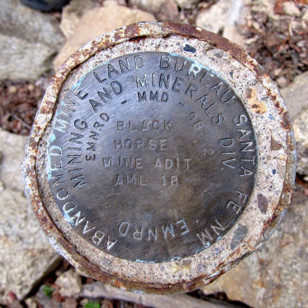
The Black Horse Group, belonging to the Four Creeks Mining company, have three claims of 1,500 feet each On one vein, and two claims of 1,500 feet each on a vein parallel and only ninety feet distant. The formation of the country rock is a dark limestone, cut by porphyry dykes, and the veins are practically vertical. The pay streak is from two to six feet in width, and runs from $10 to $100, half of which is caught on amalgamating plates; the tailings require concentrating.
The Rebel Chief Group consists of six claims, covering 4,500 feet in length and 1,200 feet in width, on which 2,000 feet of work in tunnels drifts and shafts has been done. The formation is similar to that of the “Black Horse Group,” the fissure having a dip of twenty to thirty degrees from vertical in porphyry. The mine is now being worked by lessees, who are making wages and paying royalty. They have a grinding mill and concentrator, and there are from ten to twelve men employed on this mine.
The Montezuma mine is on the Montezuma Hill, and is one of the oldest mines in the camp. It is a nearly vertical fissure vein cutting through porphyry and the strata of the limestone, which is the bed rock of this country.
The crevice varies from two to four feet in width, and from $200,000 to $300,000 in ore has been taken out of this mine.

The Gorilla No. 1 and No. 2 are parallel veins 300 feet apart and located near the summit of the French Henry mountain on the eastern slope. No. 1 is in conglomerate, and dips about thirty degrees from vertical; it has been prospected by 200 feet of drift on the vein and a sixty foot shaft; shows pay streak running two to three feet in width and ore free-milling from 85 to $200 per ton.
The San Salvador Mining Company own the “Black Joe” and “Smuggler” lodes, which are very nearly parallel veins located on the southern slope of the French Henry mountains, in the Ponil district. They are fissure veins dipping fifteen to twenty degrees from the vertical, in conglomerate. They each have been prospected by about 500 feet of drift. The ore runs from $5 to $50 per ton, 70 per cent, of which is caught on amalgamating tables, the balance being refractory. The crevice in these veins averages about six feet in width.
The Harry Lyons is located on the north side of American mountain, in the Ponil district, between the South and Middle Ponil. This vein is a – contact between black limestone and a quartzite conglomerate, and is eight feet wide, carrying small seams of high grade ore running from $50 to $260 per ton, and as much more to be taken from the refractory tailings.
The Paragon Lode is located on the east slope of Little Baldy mountain, in the Ute Creek district. It is developed by a fifty-foot shaft and 300 feet of drift on the vein, which is three feet wide, and carries free-milling gold ore running from $20 to $25 per ton, very uniformly. It is being worked by the owners and three or four miners.
The Sweepstake lode is located near the head of Ute Creek, Ute Creek mining district. The development consists of an eight foot shaft and 100 feet of drift on the vein; the pay streak being three to four feet wide, free- milling $20 and over per ton, and assays up to $300 per ton. Small force of men at work.
The Legal Tender is located on the divide, between Henderson and Willow Creeks, in Willow Creek district. The development consists of 600 feet of drift on the vein, which is from eight to ten feet wide, and yields, on an arastra, from $20 to $200 per ton.

The Dyer and Sewell Group consists of five claims, located in the Willow Creek district. The Faro Bank and Aristocrat are each worked by shaft to the depth of 160 feet; have pay streaks four feet wide, assaying from $20 to $600 per ton.
The Red Bandana Group is located on Grouse and Humbug Divide, Moreno Valley district, and includes the Red Bandana, the Moreno, Galena, Empire, Centennial and American Flag. The first named is worked by shaft to a depth of 120 feet of drift on the vein. It is a vein on slate rock, thirty feet between walls, and free-mills $8 to $10 per ton. The shaft and level are entirely in ore of excellent grade, and the whole dump is milling ore. The vein is one of the most promising in the district, and produces ore carrying a very bright, free milling-ore.
The Moreno Lode is located in Grouse Gulch, Moreno district. Development shaft 110 feet deep, 150 feet of drift, and it has a hoisting engine. This is a strong vein eight feet thick, in slate formation, free-milling $4 to $20 per ton, and is a continuation of the Centennial Lode, and its outcrop is traceable, on the surface, the entire length of the claim of 1,500 feet.
The Galena Lode is located in Grouse Gulch, Moreno district. Development shaft eighty feet deep; vein three feet wide; mills from $4 to $40 per ton, and has given assays of $2,000 per ton. A remarkable feature of this mine is that, as its name indicates, it carries a streak of galena which, as soon as depth is obtained, changes into a lead carbonate, very rich in gold which concentrates readily and makes a shipping product of great value.

The American Flag is located at the head of Grouse Gulch, and has some 300 feet of tunnels running on the vein. The ore is both of a milling and smelting character. The smelting ore is similar to the galena vein from the fact that it is a lead ore carrying a high value in gold. The milling ore consists of a vein about two feet in thickness, and so far as tested has proved, in every case, free-milling to a remarkable degree.
Perryville, in the Cimarron Canon, about six and one-half miles due south of Old Baldy mountain, was first settled in 1893, the date of the first mineral discoveries there.
The formation is the same as that around Baldy; there is the same system of porphyry and trachyte dykes crossing the Cimarron Canon at this point with a north and south strike.
The veins in this district are usually large, being from six to thirty feet between walls, and dipping but slightly from the vertical. The surface workings, so far, return mill runs of from $2 to $17 per ton in gold, and carry both copper and silver in small quantities. The Moreno Placers, in which we include Willow Gulch, has been operated for many years, and more than a million dollars in gold has been cleaned up from the rich auriferous gravel of this valley, which includes thousands of placer acres. There is a large ditch here, forty-two miles long, which winds around the mountain slopes from the Red River of the West, having a capacity of 1,000 miners’ inches, and gives all the pressure required for hydraulic mining.

